Export a Map of Any Location in PDF Format from Mac OS X
![]() A full featured Apple Maps app is now bundled on all Macs running modern versions of Mac OS. Most people will probably use Maps to get directions and cruise around the globe for virtual tours, but there’s an excellent little feature that allows you to export any regions map as a PDF file.
A full featured Apple Maps app is now bundled on all Macs running modern versions of Mac OS. Most people will probably use Maps to get directions and cruise around the globe for virtual tours, but there’s an excellent little feature that allows you to export any regions map as a PDF file.
This is useful for learning new locations, teaching geography, or my personal favorite, for travel planning. If you’re expecting to visit somewhere where there is limited or no cell reception, you can plan ahead and not worry about the mapping or cellular service situation by creating PDF maps on a Mac for the area and storing them on an iOS device.
How to Save Maps as PDF on Mac
Saving any regional Map as a PDF is extremely simple in Maps for OS X:
- Search for or navigate to the region to create a PDF map for and zoom in/out as needed
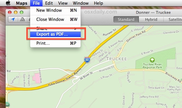
- Pull down the “File” menu and choose “Export as PDF” to save the PDF file
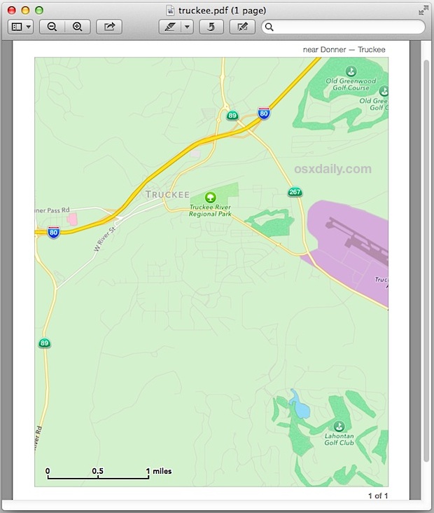
Exporting Maps works for standard map view, hybrid, and satellite imagery, but the standard view is usually easiest to quickly read. The saved map also has a nice scale/distance indicator included on it for reference:
There are a variety of obvious purposes for such a feature, but perhaps the two best usages are for learning and teaching geography, and for using as offline maps on iOS devices that will be out of cell service range.
Save & Print Maps for Teaching & Learning Geography
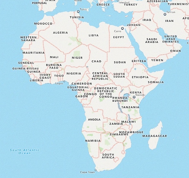
Teaching students about a specific geographical location? Maybe you need a map of the western USA with state lines, Central America with country lines, France, Egypt, or an entire continent? Make a PDF and print it out for the classroom.
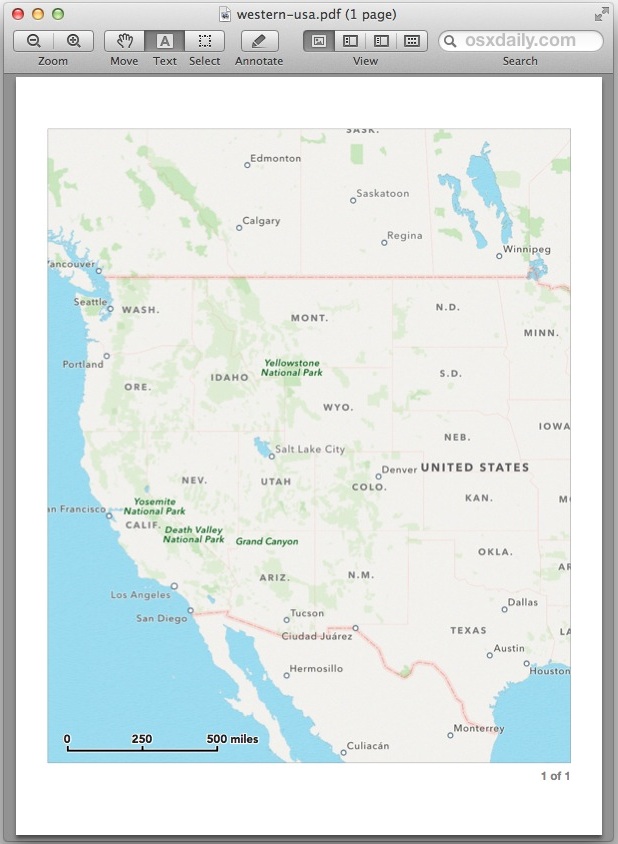
Maps saved from OS X Maps app are high resolution and look great when printed out. You can get as specific or as general as necessary for a given lesson plan.
Store Locally on iOS Devices for Offline Maps
Planning on using this for offline maps when on the go? Once you’ve created the map or maps PDF files on the Mac, send them over to your iPhone, iPad, or iPod touch using email. Now you just need to save the PDF’s locally to the iOS device and open them with iBooks to have them stored locally.
You can also save complete directions as PDF files, so if you would rather have high quality PDF’s of specific driving or walking directions, you can do that too. The standard map view is probably the most useful and least confusing if you’re going to use this for directions.
This PDF trick works well as an offline maps alternative, particularly since the Maps for iOS app does not allow for offline map caching (yet). Yes, the Google Maps app does allow for offline caching, but it’s sort of a hidden feature and thus many users forget it exists and don’t rely on it as often as it could be used.
So if you have a Mac and plan on taking a road trip, get a few maps of the area ahead of time, save them as PDF, and then email them to yourself so that they’ll be stored locally on your iOS gear – you’ll have high resolution digital maps of the region and you won’t need to rely on a cell signal to check them out. Happy travels.

I also got a blank page like Dr. Ritalin
I did it and the result was a blank page with the name of area in top! Any suggestion?
Agree With Rich D’s comment. Wanted to see if this map app would, finally, print WYSIWYG. Nope, just like all the rest. How hard can it be to have something print exactly what is in the map window. Fortunately screenshots save the day.
If you go into the Print dialog box and choose Landscape and a paper size, i.e. US Legal, and then choose Save As PDF you will get a pretty large and detailed map. The tip here I think just uses a preset which captures a portion of what you are looking at in Maps.
I tried this feature… unfortunately, the image you see on the screen (with the zoom level you set it at) is not what comes out in the pdf that is created. I tried this in order to get detailed maps of certain blocks in Manhattan… and the level of detail changed when I exported to pdf. I wound up just taking screenshots of the Maps instead of exporting.