How to Show a Map of All Geotagged Photos on Mac
Have you ever wished you could view all of your geotagged pictures on a map? With the Mac Photos app, you can do exactly that by accessing a handy map of all images containing geotagging and GPS data, each displayed on a nice navigable map, right within the Photos app of Mac OS.
For some quick background, if an image is geotagged it will have embedded GPS metadata stored with the picture file to maintain a record of exactly where a photo was taken (or at least where an image was assigned a location for).
While many privacy advocates don’t like geotagged pictures – particularly if the images are posted to the internet, social networks, social media, or any other broad service for the world to see – some users may find having precise location data within images to be useful.
This only works if you have pictures within the Mac Photos app that are geotagged with GPS data. If you removed location data from Photos on the Mac, otherwise routinely bulk strip GPS and metadata out of images for privacy reasons or compression purposes, or turned off geotagging and camera GPS on iPhone, you may not have geotagged image data to work with and thus wouldn’t have anything showing up in the Photos app.
How to See Map of All Geotagged Pictures in Photos for Mac
- Open the Photos app on the Mac
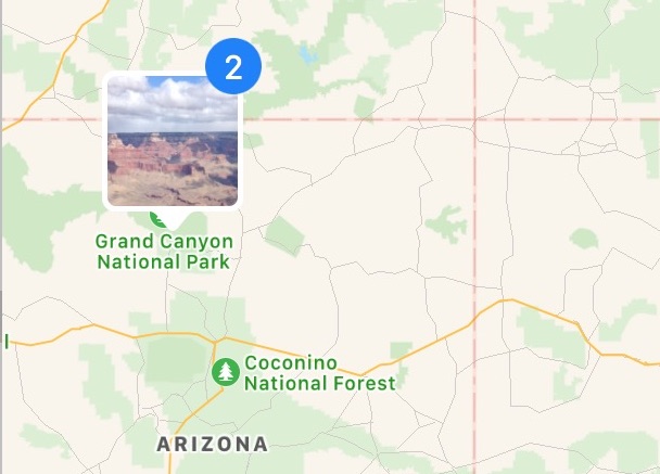
- From the Photos sidebar, choose “Places” to load the geotagged photo map
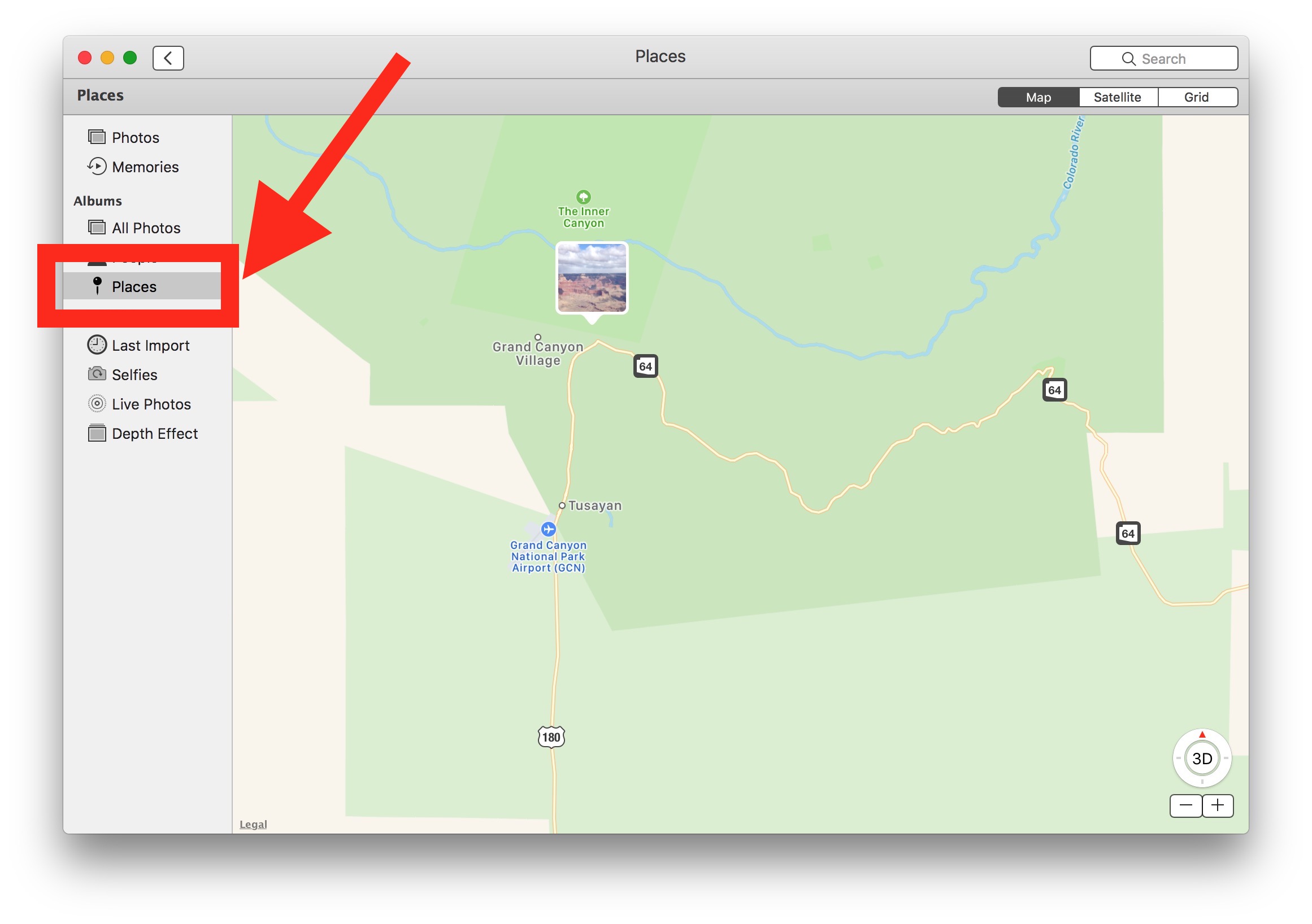
Note if the sidebar isn’t visible by default, you can go to the View menu to reveal the sidebar as expected.
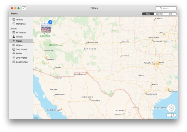
The “Places” section of the Photos app will always show GPS tagged images that are within the Photos app of Mac OS, but there are other ways to see geotagged images as well.
You can zoom in and out on the GPS tagged photo map, and you can set the map to be a satellite view too if you’d like. The map with the geotagged images is the same type of maps you encounter with the Apple Maps app on Mac and iOS.
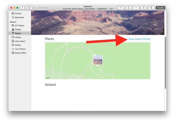
Show Nearby Photos with Geotagging
You can also show nearby geotagged photos that may relate to an existing geotagged image by having a nearby location:
- From Photos on the Mac, open a geotagged picture you want to find other nearby photos for
- Scroll down to reveal the “Places” section and then click on the “Show Nearby Photos” option
You can also view EXIF data directly from Photos app, which will also show the geotagging information if relevant.
This can also offer a simple way to see a bunch of images that have GPS data if you want to remove the location data from the picture directly within the Photos app on the Mac, or if you want to know what image files should be passed through a Mac app like ImageOptim to strip the image files of EXIF metadata and GPS coordinates.
So there you have it, now you can quickly see all the geotagged pictures you have played out on a map for you within the Photos app. And if you have other pictures elsewhere you wish to check this for, you’d want to import those image files into Photos app, or copy the pictures from an iPhone or camera to Photos app on Mac first. Just remember that if you do have GPS and geotagging data stored in pictures and you choose to share those pictures with someone else or post them online, technically anyone can retrieve the metadata and GPS coordinates of where the picture was taken.